Pages
- News
- about LUP
- Remote Sensing
- Geoinformatics, Geodata Infrastructures
- Environmental Management, Landscape Planning
- Publications & Lectures
- Team and Contact
- Imprint and Liability
- Sitemap
Posts by category
- Category: General
- Talk about biodiversity on active military training areas
- PLIS Geocomponents
- Gutachten zum Masterplan 100% Klimaschutz für Potsdam fertiggestellt
- Bodenfeuchtemonitoring mit Sentinel-Daten
- SUEDLINK – Biotope type mapping
- Berliner Energie- und Klimaschutzprogramm fertiggestellt
- A.L.K.I.S /BIO – Ausgangssituation
- The methods of SARA’04
- Category: Projects
- Project Launch of EO4NATURE
- Report for the Brandenburg Climate Plan finalised
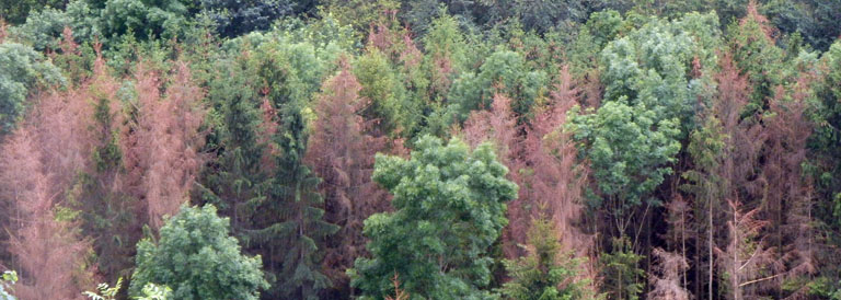
- Forest damage monitoring 2018 – 2025
- PLIS
- Urban Green Roofs
- Feasibility study “Carbon Neutral Berlin 2050”
- MS Monina
- MOBSTER
- A.L.K.I.S / BIO
- Monitoring of the Urban Green Volume
- Integriertes Klimaschutzkonzept
- Update of the Land Use and Land Cover Map in South Tyrol
- Category: Research and Development
- UrbanGreenEye Successfully Completed
- AI-Recover Project Meeting at the Bavarian Forest National Park
- Presentation of FeMoPhys in Orléans (FR)
- Storymap and dashboard for the FeMoPhys research project online!
- UrbanGreenEye
- BirdWatch
- RailVitaliTree research project launched
- FeMoPhys – Development of a remote sensing-based forest monitoring method
- InBoMo-Sentinel
- Molawa
- SARA’04