Research and development project 2003 – 2005
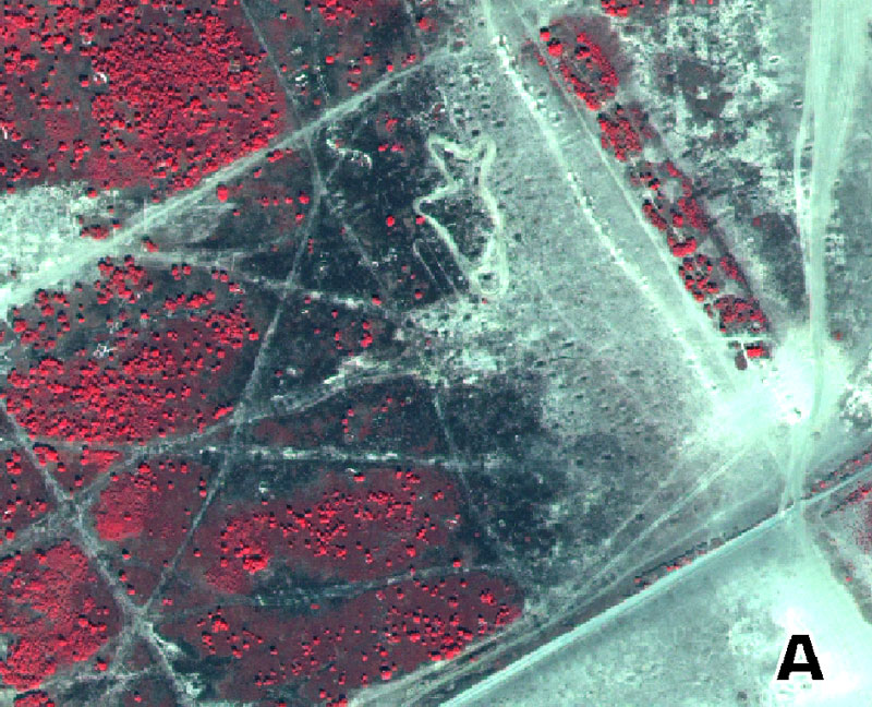
SARA’04: satellite-based regional monitoring for environmental applications) is the method for the automatic acquisition of information from VHR satellite imagery.
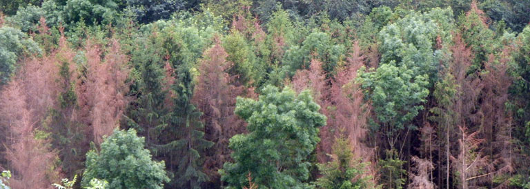
The VHR data quality of the QUICKBIRD-Satellite with ground resolution of 65 centimeters is comparable to airphotos, the purchase is cheaper and the aquisition is faster. Furthermore they are digital and can be integrated directly into existing geoinformation systems. At the moment the VHR-satellite Quickbird with the highest resolution available and suitable spectral characteristics for environmental applications, is most efficiently used.
Main goals of the development of techniques and methods to analyse very high resolution satellite data were
- Transferability
- Repeatability
- Impartiality
Further goal was the operational integration into existing administrative processes:
- Natura 2000, regional planning, landscape planning
- Use of standardised biotope type and land use systematic
- Use of standardised data formats and GIS-systems
The project was funded by the Ministry of Economy of the State of Brandenburg and cofinanced by the European Fund for regional development.