Example: Analysis of NATURA 2000 Habitat-types
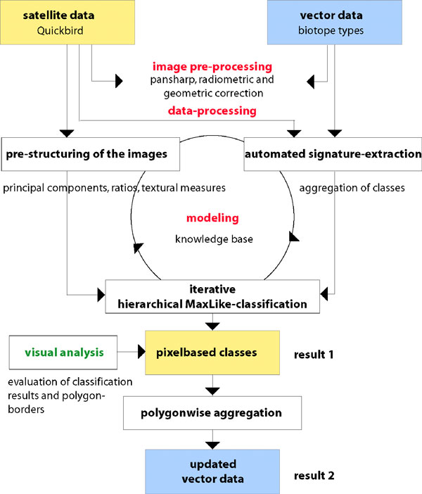
For an automatic analysis first of all the satellite images need to be structured into semantic meaningful masks. This is done fully automatical by using ratios and texture-measures, thus the valuable pixelbased information will be kept throughout the whole process. The automatic classification is achieved by extracting training signatures from the “old” habitat maps with the aid of a static (and transferable) knowledge base which is actually filled with dynamic values via several image analysis algorithms. The process of segmenting the images into masks, extracting training data and classification is fully automatic. The hence produced pixelbased indicators can now be used for the evaluation of habitat types.
- Workflow
E.g. the indicator set for dry sandy heaths consists of area size, wood cover, percentage of open sandy spots, percentage of moss covered area, percentage of grass covered area, percentage of heath covered area and impairments. The produced indicator maps and the satellite images will be published via internet, so that experts have access to the information and are able to validate results.
Example for the automated generation of signatures from old biotope type data through a knowledge base:
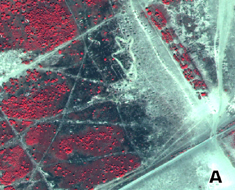
- A: Quickbird subset, pansharpened, RGB=4,3,2
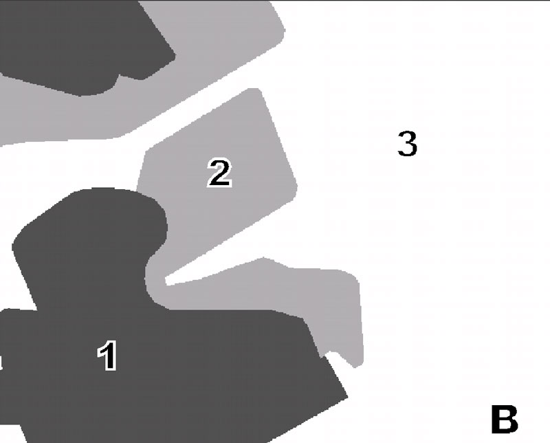
- B: biotope type map from 1992
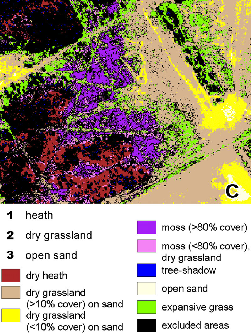
- C: generated training areas for signature extraction