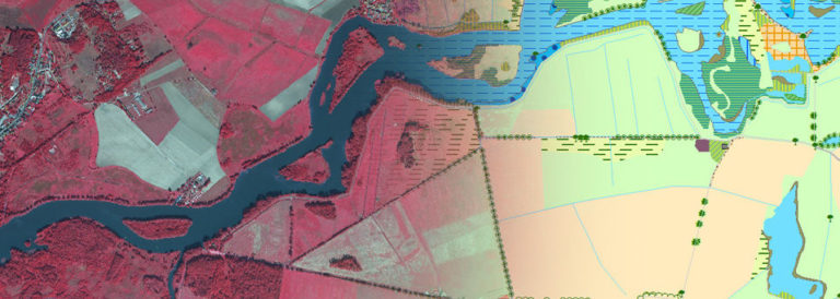
R&D-project in cooperation with the Helmholtz Centre Potsdam GFZ German Research Centre for GeoSciences
Duration: 2010 – 2013
The determination of soil moisture covering large areas and conclusions on depths to water table resulting from this is only possible by very cost- and time-intensive methods yet. Though for planning and efficiency controls of techniques for improving the landscape water balance reasonable priced informations about soil moisture covering large areas are necessary to draw conclusions on the efficiency of techniques in the areas under investigation. In the framework of this project a method for determining soil moisture of plant canopied soils is developed. This method will be suitable for small and large scales and applicable in an uncomplicated way with a high temporally repetition rate.
Aim of the project is the acquisition of soil moisture using satellite imagery based on two systems: radar and optical remote sensing. Innovation of the project is the combination of radar and hyperspectral image data and virtual landscape models for developing a process chain, which allows a cost-effective and large-area conclusion and quantification of soil moisture with a high accuracy.
The project is funded by the German Ministry of economy and technology according to a resolution of the Deutscher Bundestag.

