In South Tyrol (Italy) the term “land use and land cover map (LULC)” is used instead of the description “land use and biotope type map” which is mostly used in Germany. In South Tyrol already exists a LULC map that was provided in two steps (1991, 2001) and in two various differentiations of the classes. The update of the LULC map on a scale of 1:10,000 should use the more detailed interpretation key of 1991, that e.g. differs between vineyard and orchard. On the one hand in high altitude areas the satellite sensor SPOT V with high resolution data as well as in the valleys the sensor QuickBird with very high resolution satellite data and on the other hand additional geo data with information of altitude, gradient, exposition and accessibility (e.g. digital terrain model, DTM) were employed.
Together with the EURAC Research Institute Bozen an ensemble classification method was developed that combines different pixel and object based algorithms as well as a regression tree models with the satellite data and a-priori information (DTM). Through a land use model general rules were deduced. For example the classification into the class “settlement” was only allowed up to a certain altitude, the class “intensive grassland” only up to a certain gradient. Additionally terrestrial samples for all classes were taken, most of them to enhance the model and some to validate it.
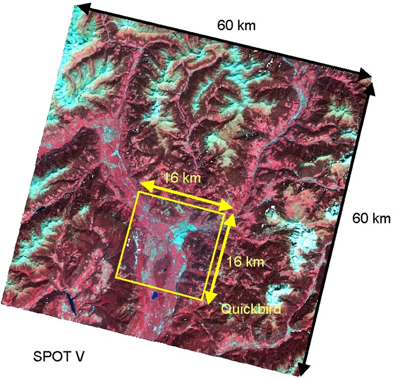
SPOT V and Quickbird