R&D-project in cooperation with the Federal Institute of Hydrology (BfG) and Technische Universität Berlin (Department of Geoinformation Processing for Landscape and Environmental Planning)
The active satellite system RapidEye, in service since 2009, is able to collect multispectral images flexibly and with high temporal resolution and is a possible less expensive alternative for the high-priced airborne imagery which is applied so far. Using the RapidEye data, which is nationwide available for government agencies, it is possible to apply the experiences and concepts from estuarine research to further areas as coasts and mainland. The technical and professional evaluation of the potential of the vegetation analysis using RapidEye images along the waterways is in focus.
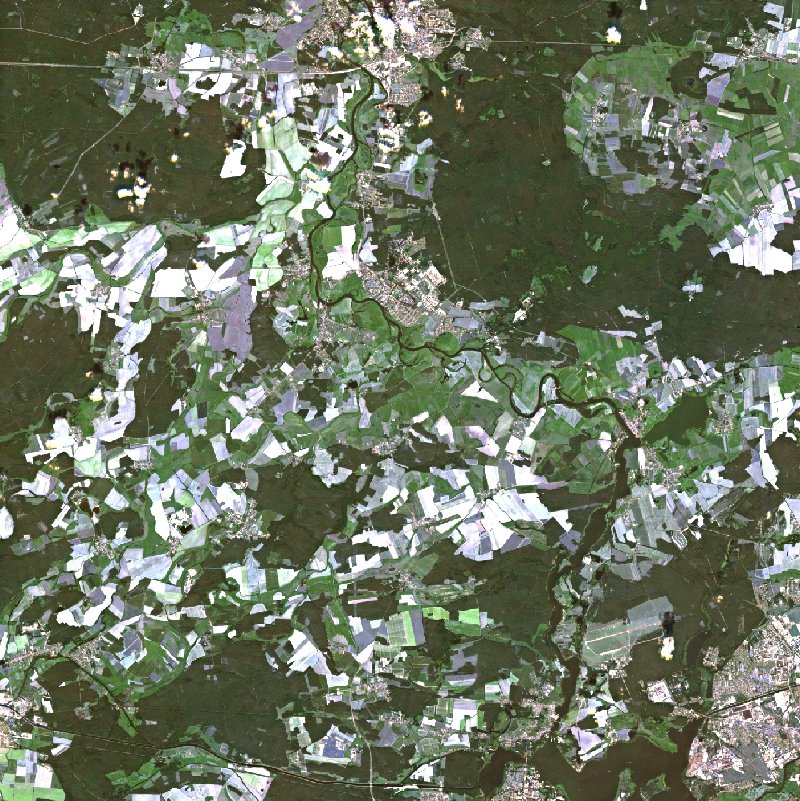
Satellite image "Untere Havel"
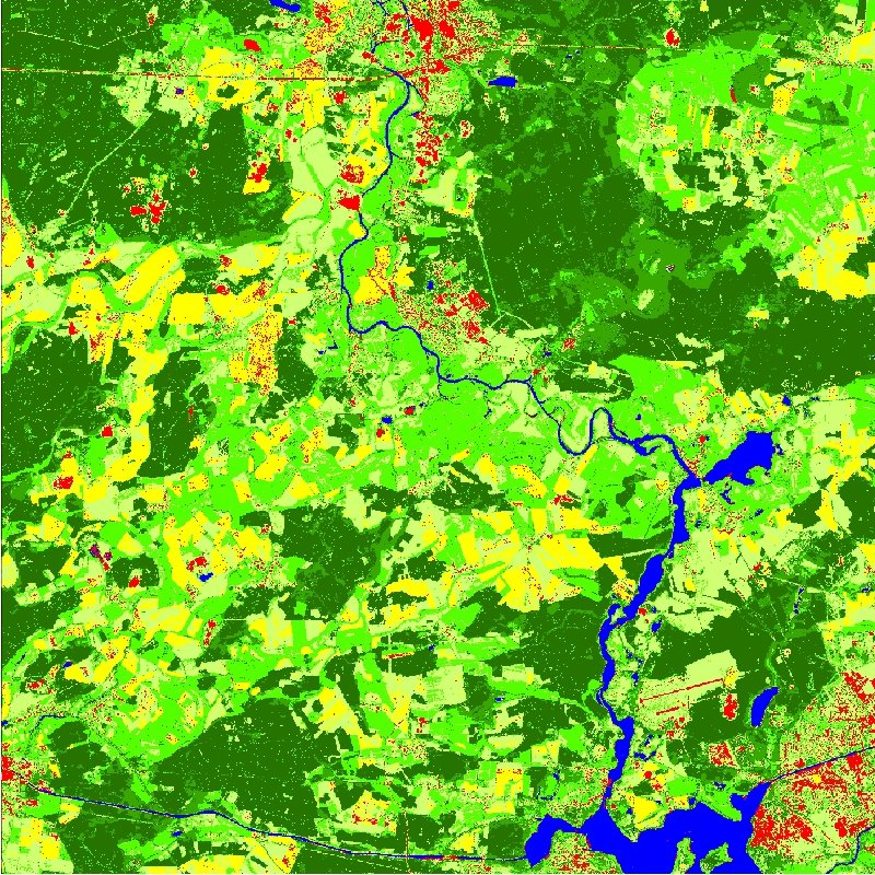
classification result
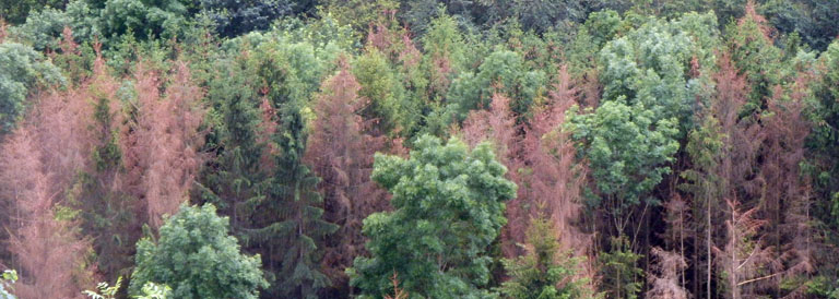
Satellite imagery enables an objective large-scale observation of the network of significant vegetation structure, particularly of categories in deficit. The detection of habitat structures of drainage systems and their development and therefore the possibility of specific intervention for the improvement of compensation measures are essential aspects for ensuring the permeability of rivers for migratory fishes und thus scientific basis for the implementation of political agreements according to the European Water Framework Directive (WFD).
Aim is to establish a vegetation inventory for waterways by classification of satellite images. This information and hence conveyed changes of vegetation structure diversity as the dynamics of development of habitats of the European Unions Habitats Directive as well as stocks of neophytes are providing an essential background which is required for the challenge to ensure a long-term ecological development of the traffic carrier “federal waterways” and to implement the requirements of the WFD by identifying and pointing out changes and deficiencies and therewith the basics for improved forecasts can be developed.