Services:
- Habitat types and land use mapping
- Automated land use and dominance species classifications
- FFH monitoring with high-resolution satellite data
- Habitat modelling
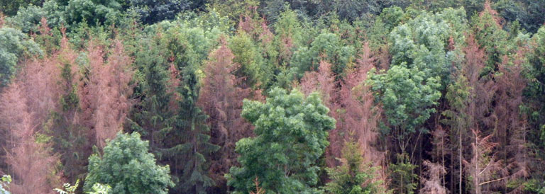
- Forest structure and condition mapping, tree cadastre
- Sealing mapping
- Spatial observation, settlement monitoring
- Multitemporal evaluations in the change detection process
- Multitemporal classifications based on phenological signatures
- Procurement and distribution of satellite data
- Organization and monitoring of scientific aerial surveys
- Forest inventory tasks (e.g., timber reserves, forest condition assessments, natural forest compartments)
- 3D plant modelling and radiation transfer simulations
- Detection of area-based climate indices

“The human must rise above the Earth, because only then will he understand the world in which he lives.” (Socrates, 469-399 BC)