UrbanGreenEye
UrbanGreenEye
Das Datenportal stellt jährlich aktualisierte Indikatoren für die Klimaanpassung zur Verfügung
ForestWatch
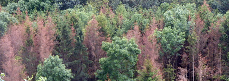
Waldschäden Deutschland 2018-2025
Bundesweite Daten zu Vitalitätsverlusten der Wälder auf Basis von SENTINEL-2.
Das Datenportal stellt jährlich aktualisierte Indikatoren für die Klimaanpassung zur Verfügung
Bundesweite Daten zu Vitalitätsverlusten der Wälder auf Basis von SENTINEL-2.