research and development project in cooperation with the Helmholtz Centre Potsdam GFZ German Research Centre for GeoSciences
2007 to 2009
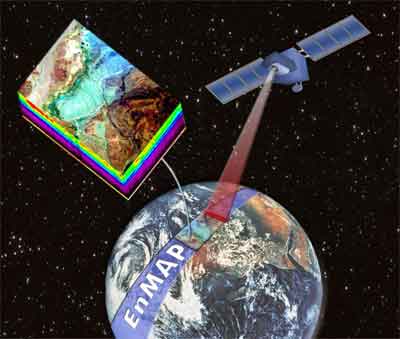
The hyperspectral satellite EnMap, a development of the German Research Centre for GeoSciences (GFZ) will be launched presumably 2013.
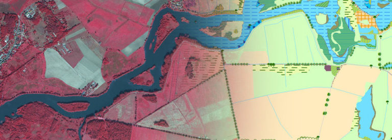
Within the project LUP as the first privat enterprise develops automated services with help of HYMAP-imagery for the economical use of the EnMAP data.
The main objectives are
- land use
- urban structures, indices of urban development
- vegetation analysis
- nature protection
- forestry and agriculture
- biodiversity, climate change
The development will be done in close co-operation with the Helmholtz Centre Potsdam GFZ German Research Centre for GeoSciences.

SARA_EnMAP was cofinanced by the Ministry of Economy of the State of Brandenburg and by the European Union.