R&D co-operation with TU Berlin (Department of geoinformation of landscape and environmental planning) and Leibnitz University Hannover (IPI)
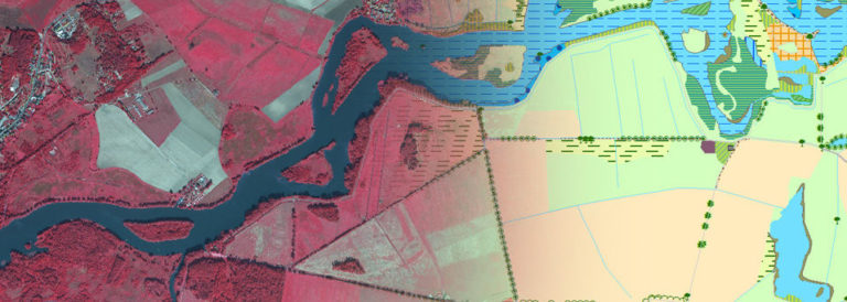
For the monitoring of bio-geographical regions information about the change of vegetation composition and structure are necessary within one growth period. Thus it is possible to record and display the variable status and the distribution of habitats within a seasonal cycle. With the very high temporal resolution of RapidEye and TerraSAR-X the optimal capture dates for an effective multitemporal application regarding different habitats are to be detected. The short revisit time and the spectral accuracy for vegetation analysis (e.g. near-infrared and red edge canal) of the sensor RapidEye is combined with the high geometrical resolution and the potential identification of vegetation structures of TerraSAR-X. Via terrestrial inventory spectral and structural libraries that are transferable to other capture dates and years will be acquired. Thus signatures of the phenological cycle of one year for different habitats and their quality based on spectral signals as well as their textures and structures in different time-cuts (e.g. change of height and density of heath land) have to be developed. This spectral and structural library can then be adopted and validated with larger datasets. It can be assumed that a higher classification accuracy can thus be achieved compared to mono-temporal methods. The developed method will establish an efficient operation of remote sensing data within the NATURA 2000 monitoring. Associated partners:

