After three years of intensive project work, UrbanGreenEye was successfully completed two months ago. The aim of the project was to systematically capture, analyze, and spatially visualize urban green structures. Using advanced remote sensing and GIS methods, robust datasets and innovative mapping products were developed, offering new perspectives on urban vegetation spaces.
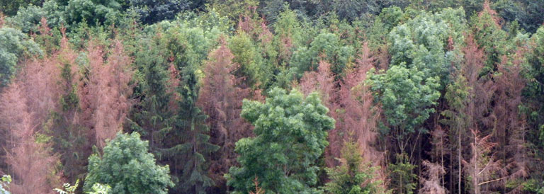
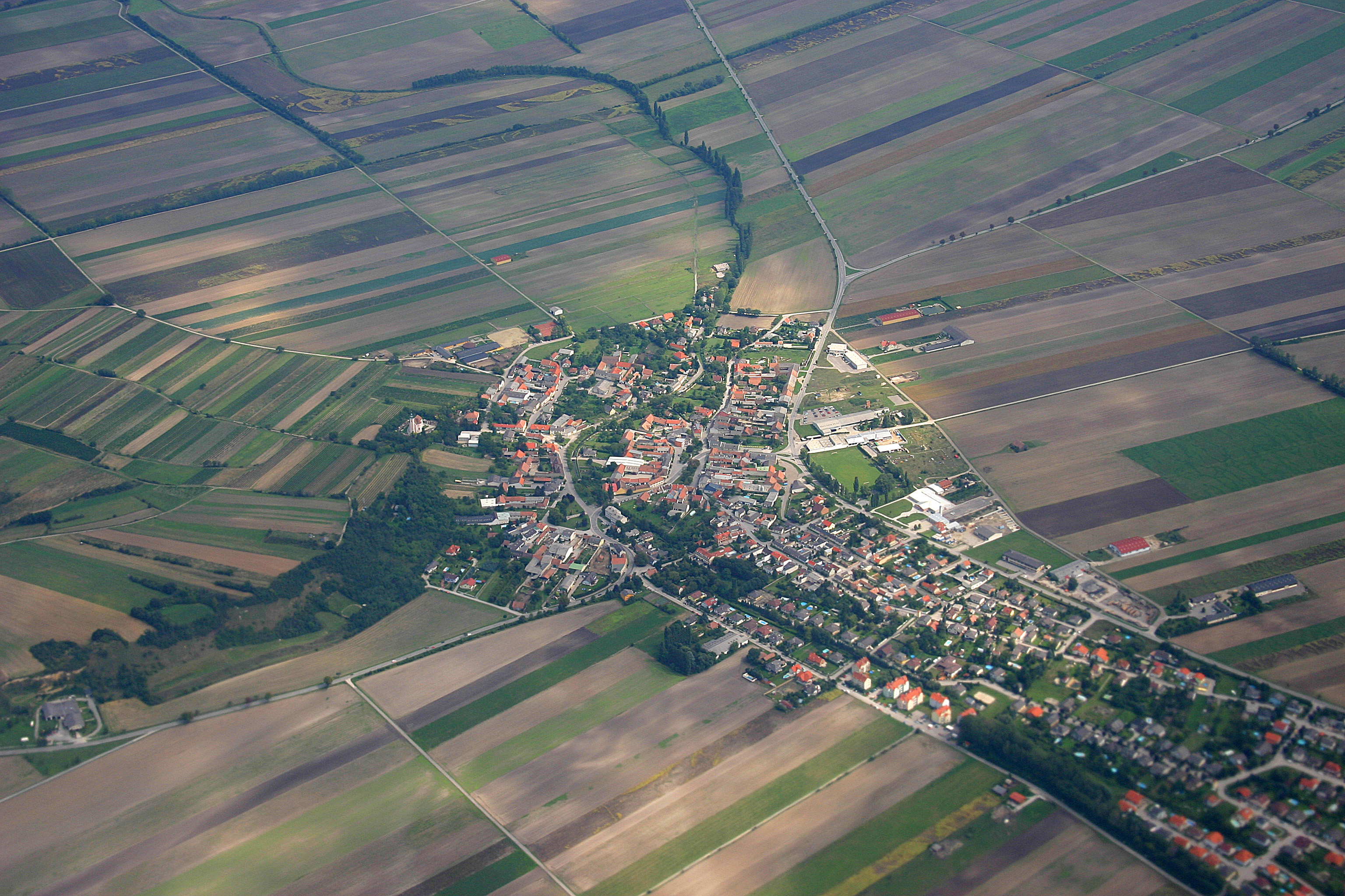
A particular focus was placed on the high-resolution mapping and assessment of urban green areas. The resulting maps provide detailed information on the distribution, structure, and quality of green spaces and can serve as a foundation for urban planning, climate adaptation strategies, and sustainable development concepts.
The key project results – in particular the developed maps and visualizations – are now available online:
UrbanGreenEye thus makes an important contribution to data-driven analysis and the sustainable design of urban environments.