Urban Green Roofs
Remote Sensing Based Mapping and Inventory of Urban Green Roofs - the Example of Berlin
RailVitaliTree research project launched
Tree vitality monitoring and modelling of drought-related risks along railways with remote sensing and dendroecology
Gutachten zum Masterplan 100% Klimaschutz für Potsdam fertiggestellt
Die Nationale Klimaschutzinitiative fördert Potsdam als eine von 22 Masterplan-Kommunen in Deutschland
General
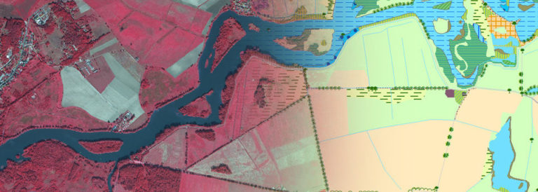
SUEDLINK – Biotoptypenerfassung
LUP führt die Voruntersuchung für die Windstromtrassen erstmals durch Kombination von Luftbildern und Sentinel 2a Daten durch
General
InBoMo-Sentinel
InBoMo - Indicator-based soil moisture monitoring of river flood plains synergistically utilizing Sentinel and other remote sensing data
ENERGIC-OD
European NEtwork for Redistributing Geospatial Information to user Communities - Open Data
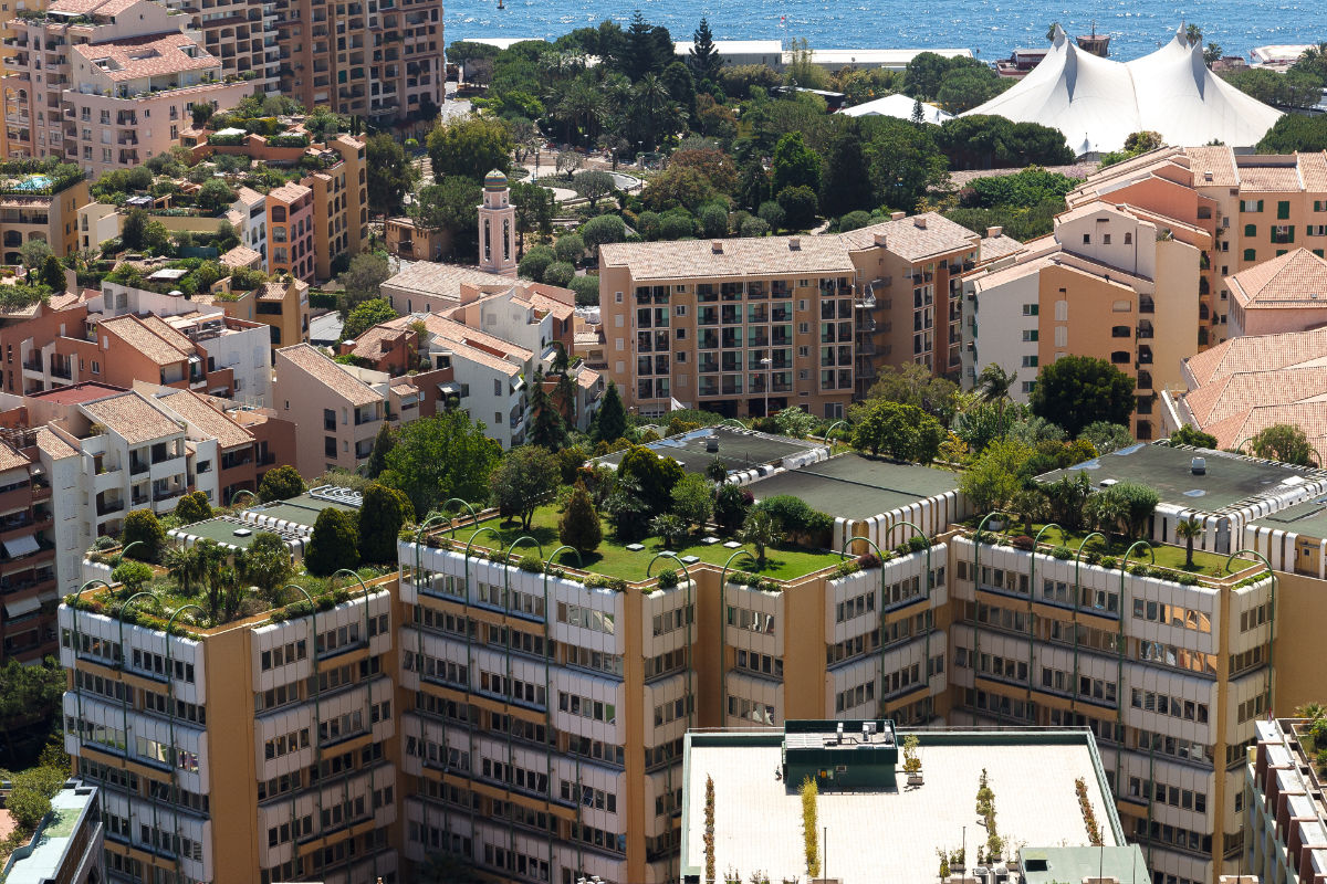
Feasibility study “Carbon Neutral Berlin 2050”
under management of the Potsdam Institute for Climate Impact Research (PIK); by order of the Senatsverwaltung für Stadtentwicklung Berlin
CARE-X
Change detection analysis for the monitoring of biodiversity with TerraSAR-X and RapidEye satellite data
SARA_EnMAP
Application-Development for the use of data of the Hyperspectral-Satellite EnMAP
A.L.K.I.S / BIO
Homogenisierung der Biotoptypen- und Landnutzungsdaten auf Basis der Liegenschaftskarten und des ATKIS DLM im Land Brandenburg
Brandenburg